Q12
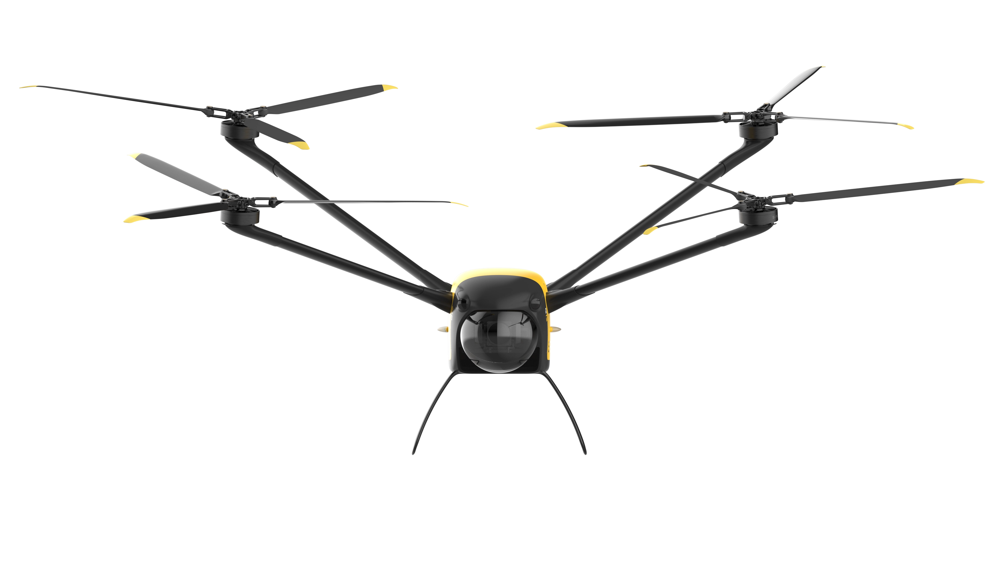
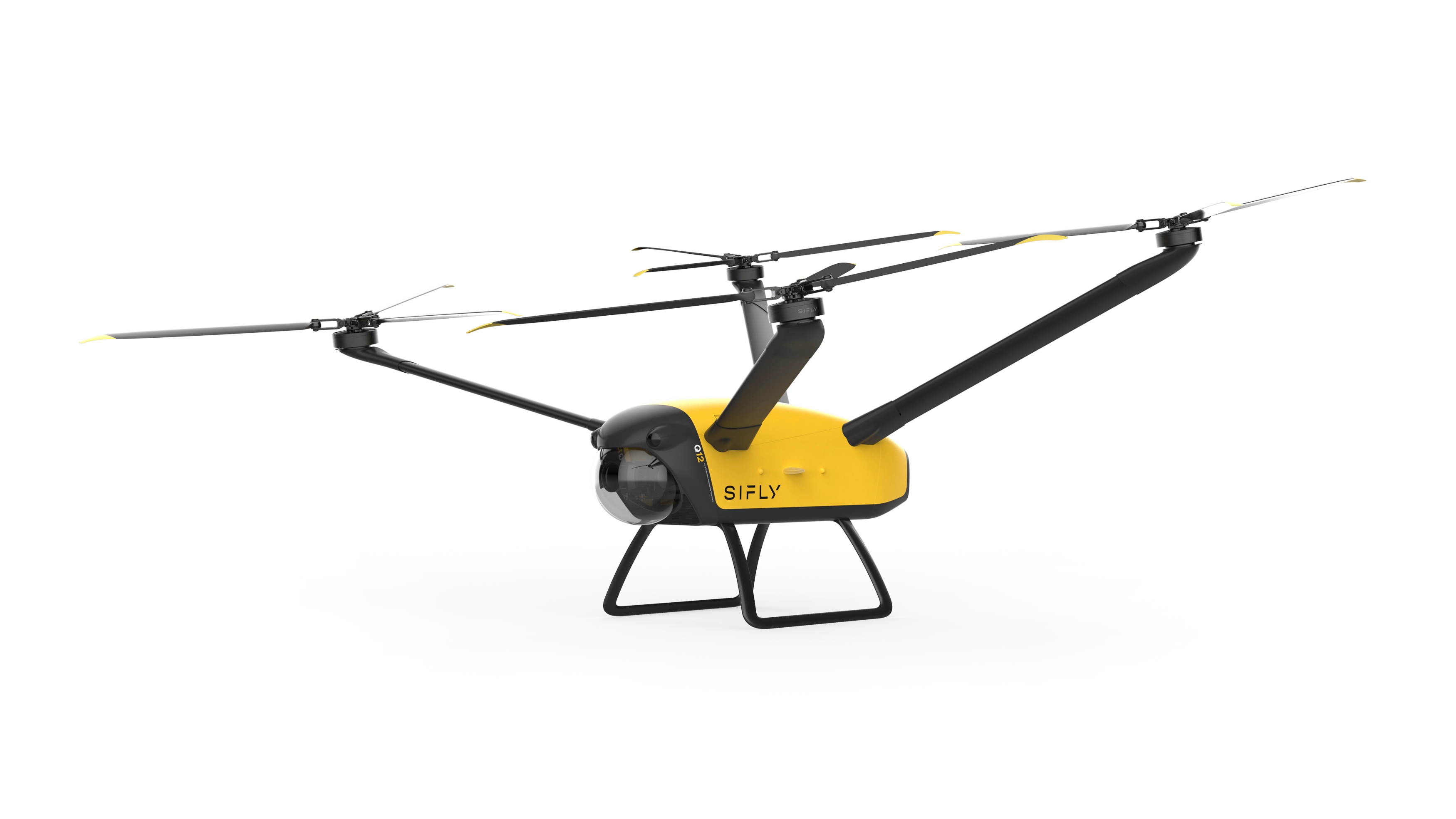
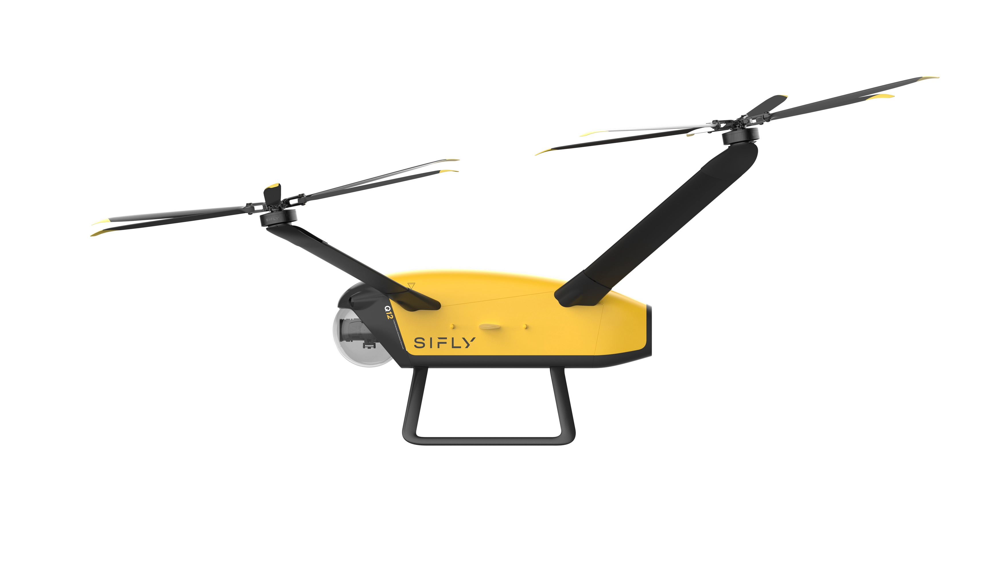
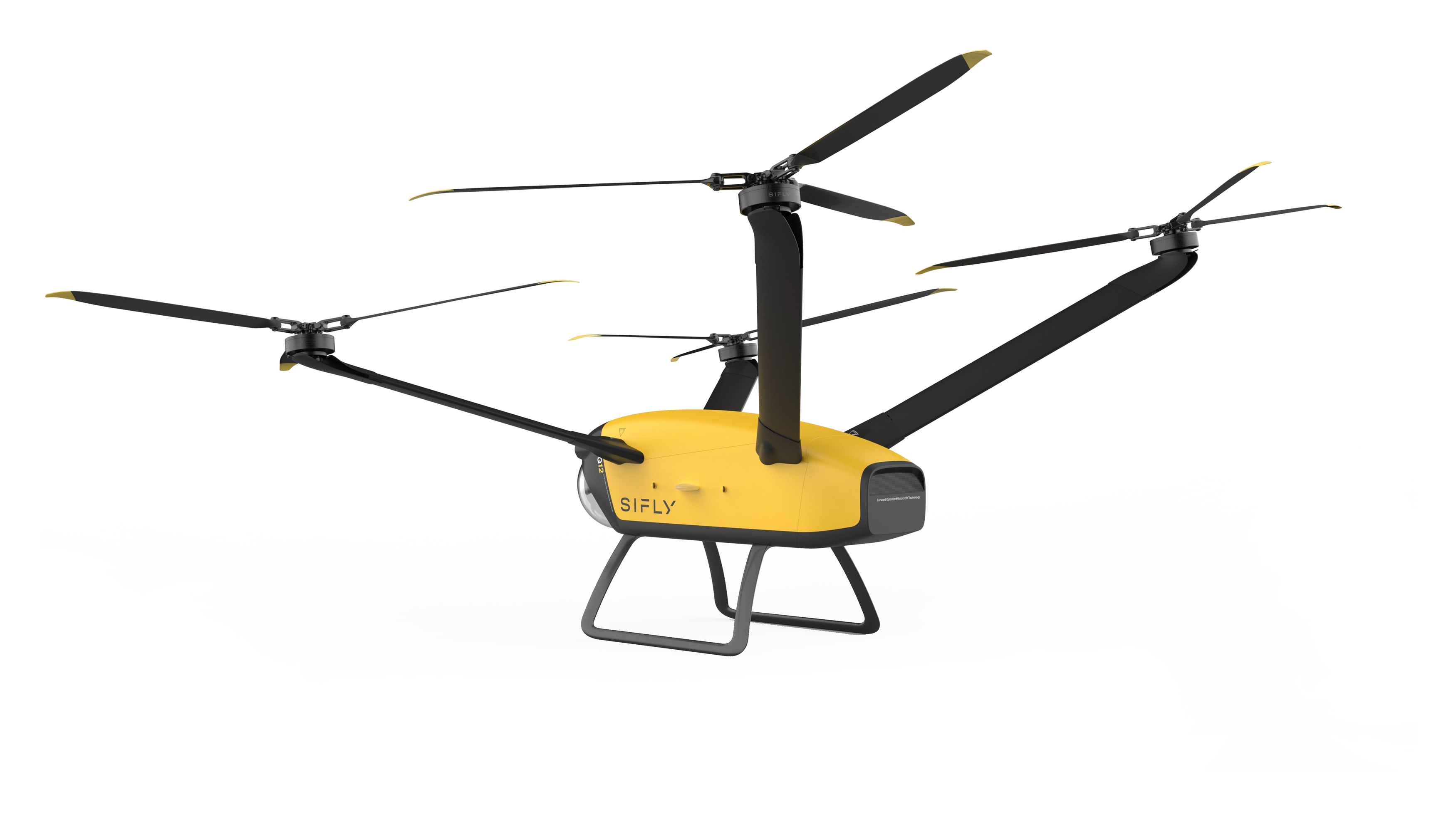
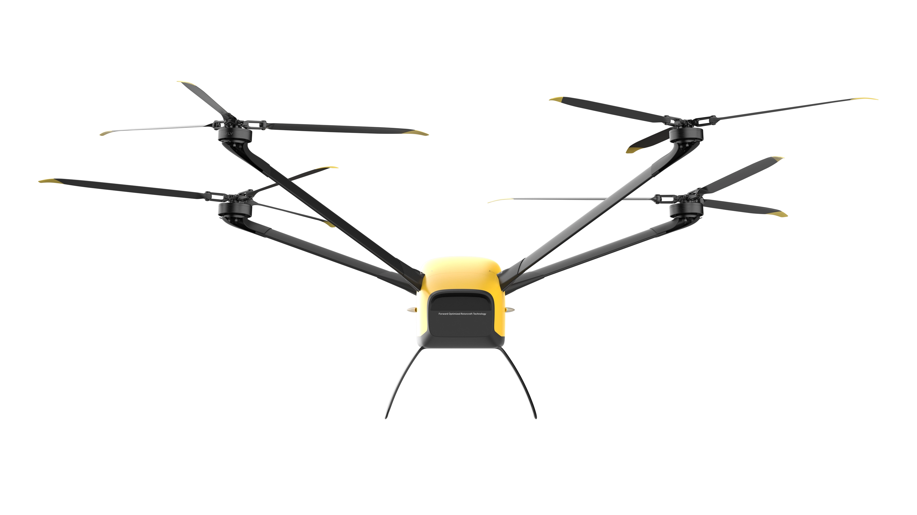
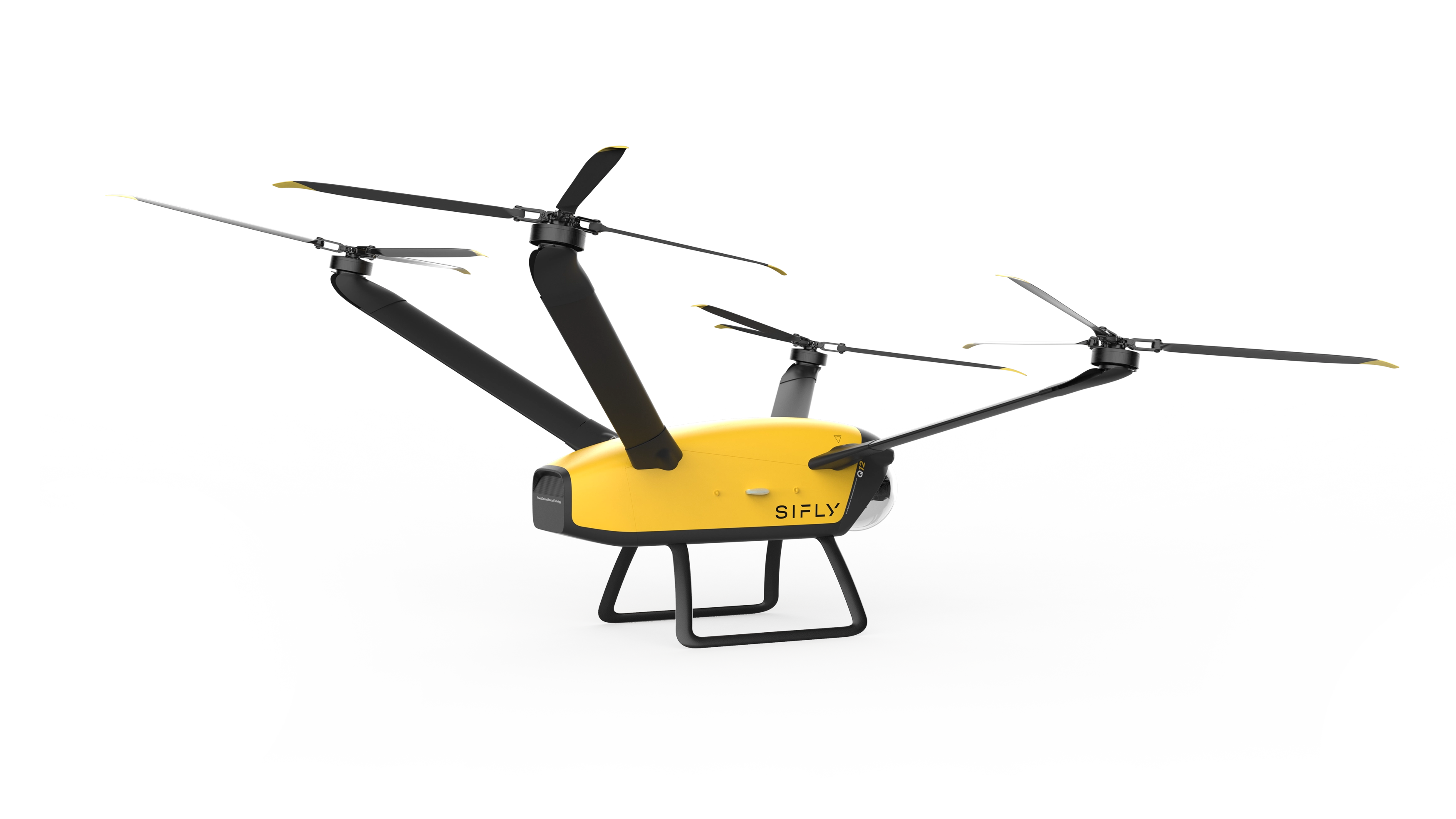
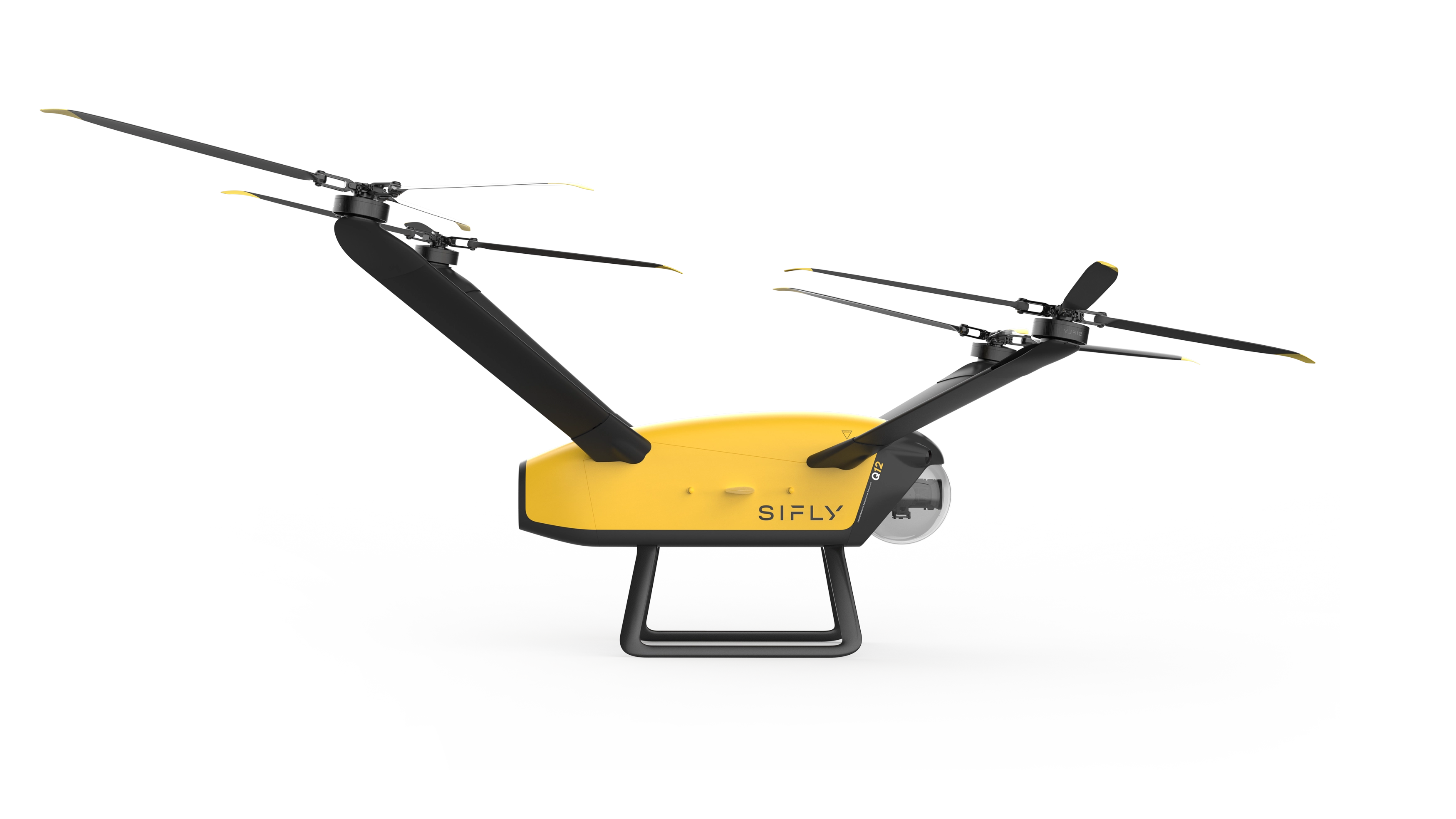
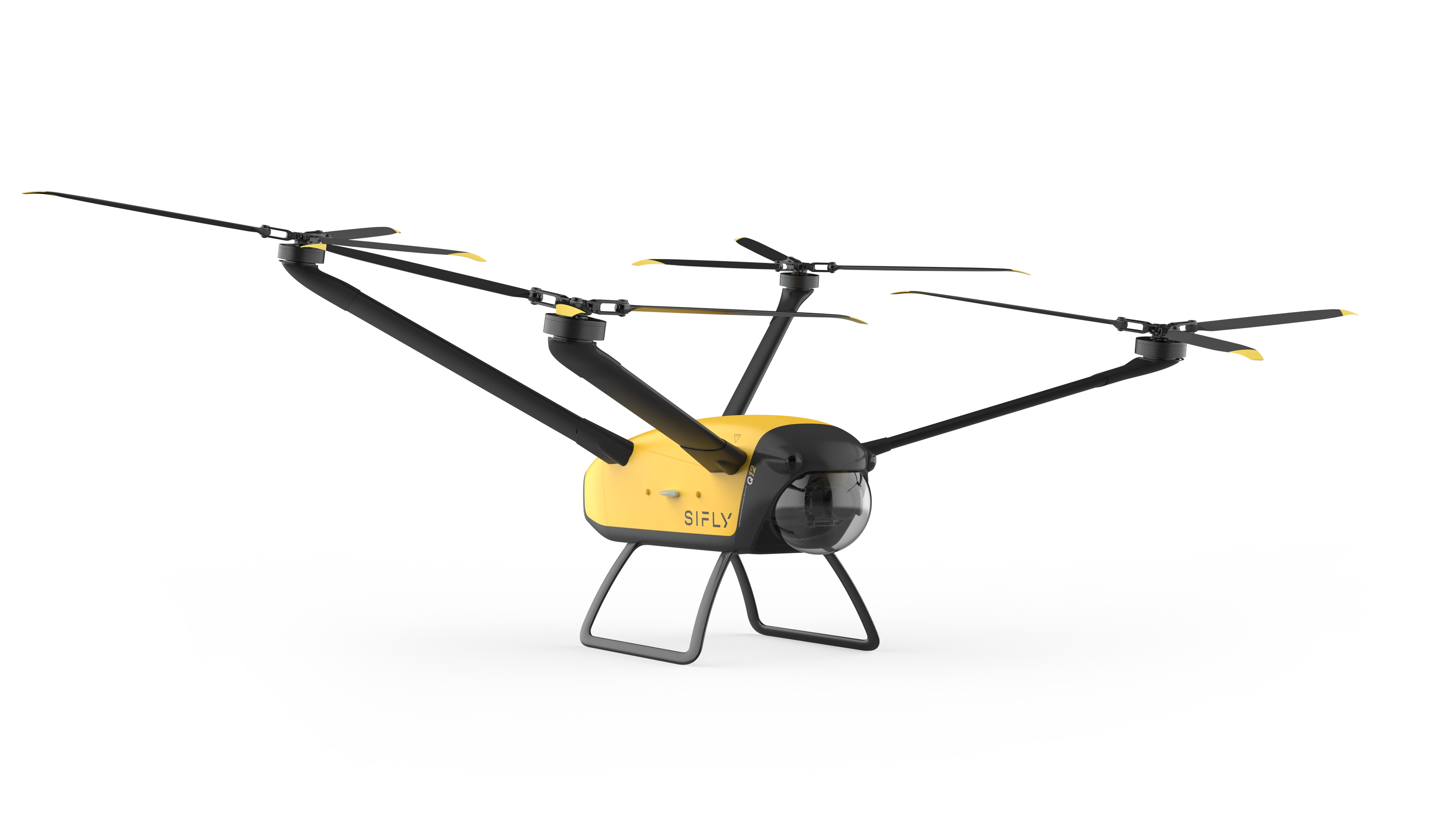

Built with Industrial Drone Operators in Mind.

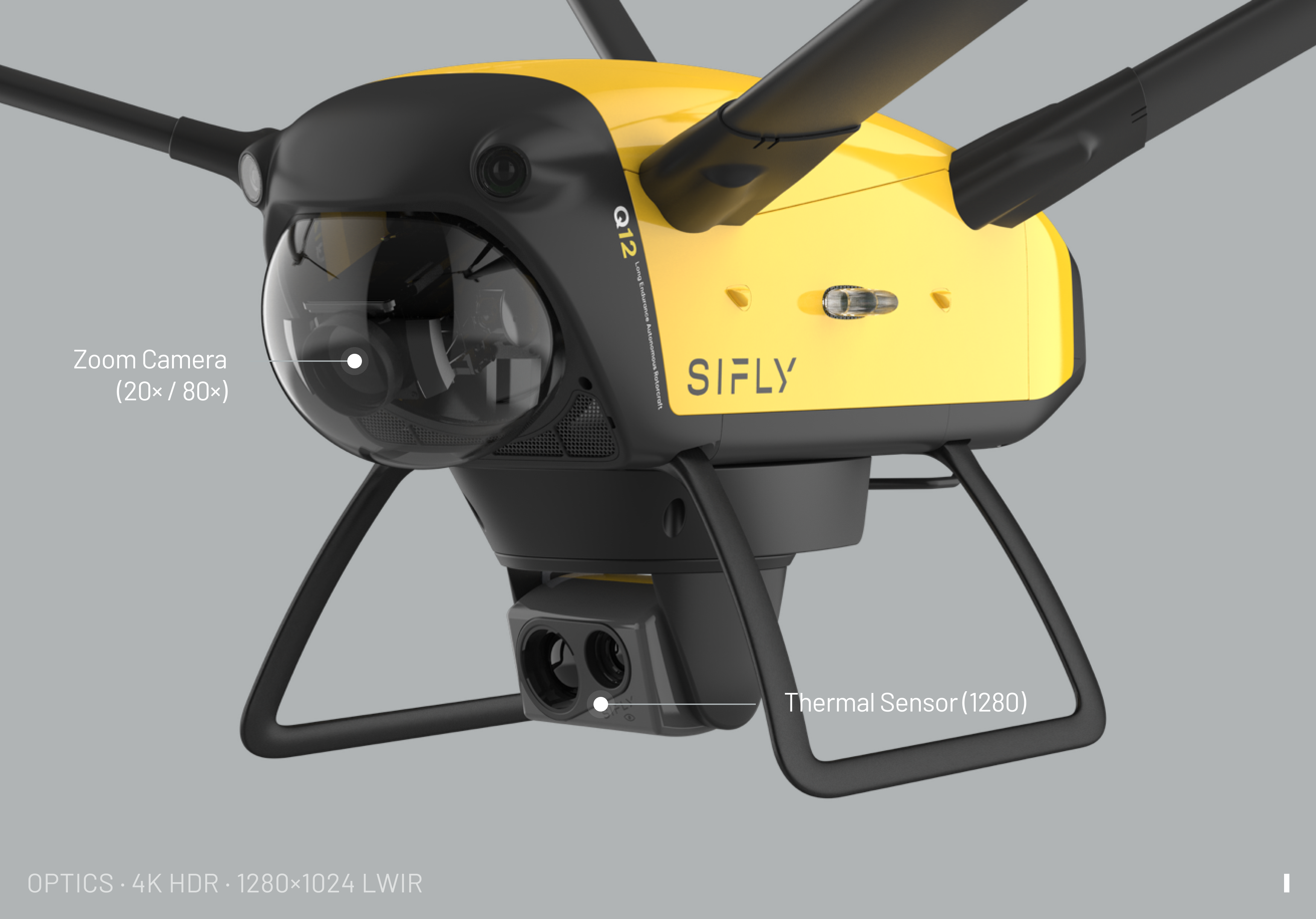
High-Resolution Optics.
Real-Time Insight.
Identify targets, inspect infrastructure, and gather
intelligence from miles away—without repositioning.
Extended Range.
Continuous Connectivity.
Maintain command, control, and real-time video—across
distance, obstacles, andchanging network conditions.
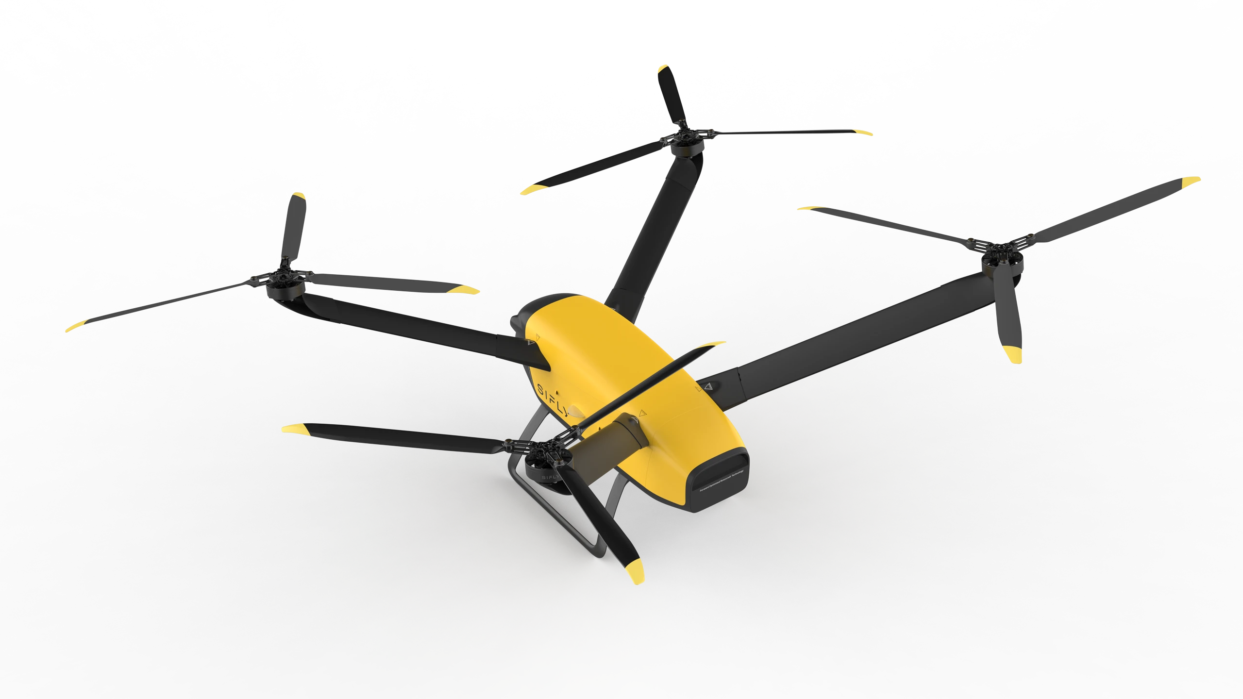
Dual-SIM bonded modem with carrier failover for seamless metro and rural coverage.
Wide-band link for low-latency video and high-fidelity payload telemetry.
Long-range, low-frequency data link that penetrates obstacles and terrain.
BVLOS Ready.
Airspace Awareness,
Built In.
Designed for BVLOS operations with layered safety,
awareness, and onboard autonomy — so the aircraft can think when the link can't.
Onboard AI Compute
Processes data in real time at the edge, enabling faster decisions without relying on external systems. This allows the drone to react instantly, adapt mid-flight, and maintain performance in dynamic environments.
Optical Detect and Avoid
Built-in sensing continuously scans the environment to detect and avoid obstacles, supporting safe navigation through complex and unpredictable airspace.
ADS-B 1090 + 978 In
Receives real-time air traffic signals, providing awareness of nearby aircraft and supporting safer operations in shared airspace.
Remote ID In and Out
Broadcasts and receives identification data to support compliance and improve transparency across the airspace.
Dual RTK Receivers
Delivers precise positioning for accurate navigation, stable flight, and consistent mission execution.
Radar Altimeter
Measures altitude above ground in real time, ensuring reliable low-altitude performance and terrain awareness.
Deploy Anywhere.
Launch in Minutes.
Go from transport to takeoff in under five minutes — without specialized equipment, ground crew, or fixed infrastructure.
00:00
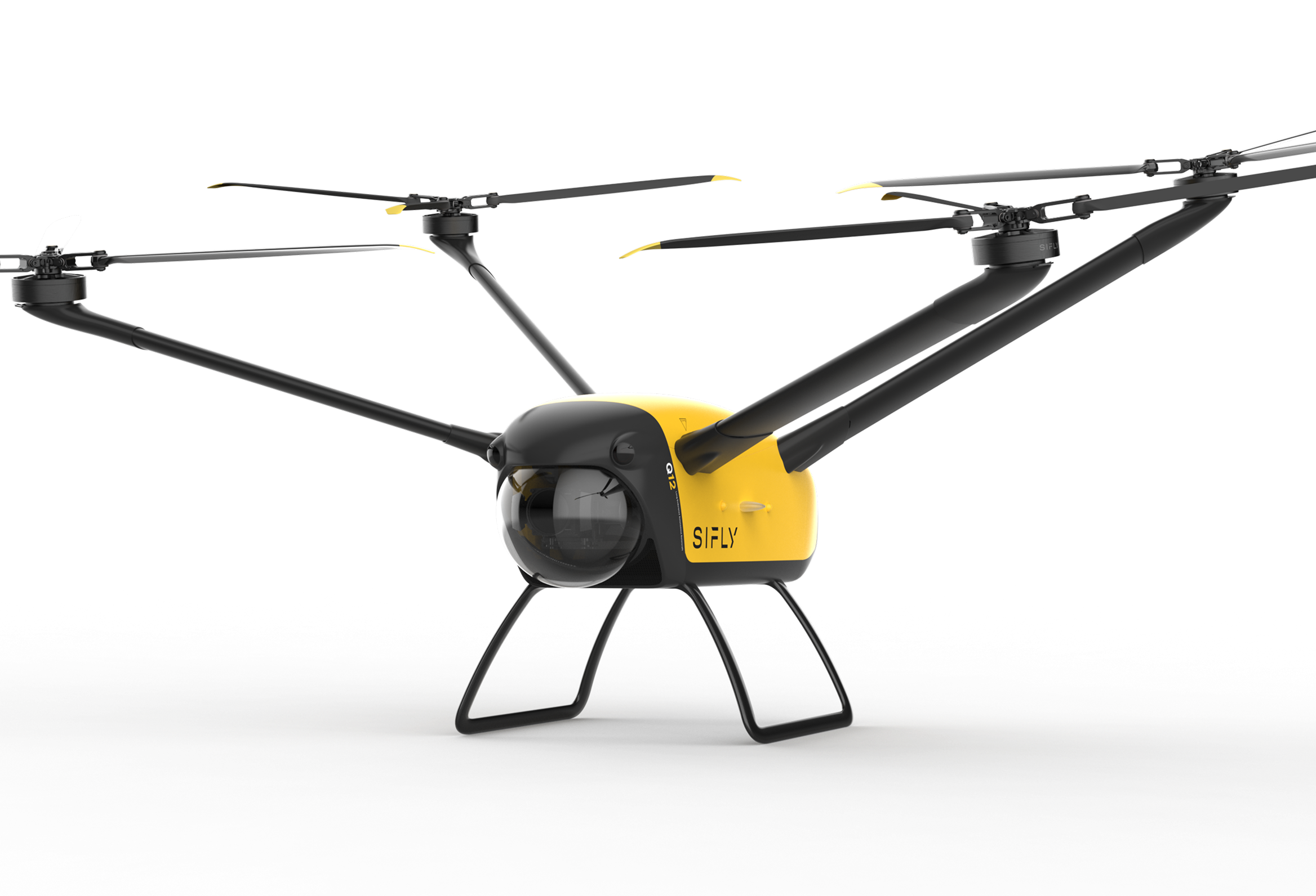
Open case, lift Q12 by
base of fuselage.
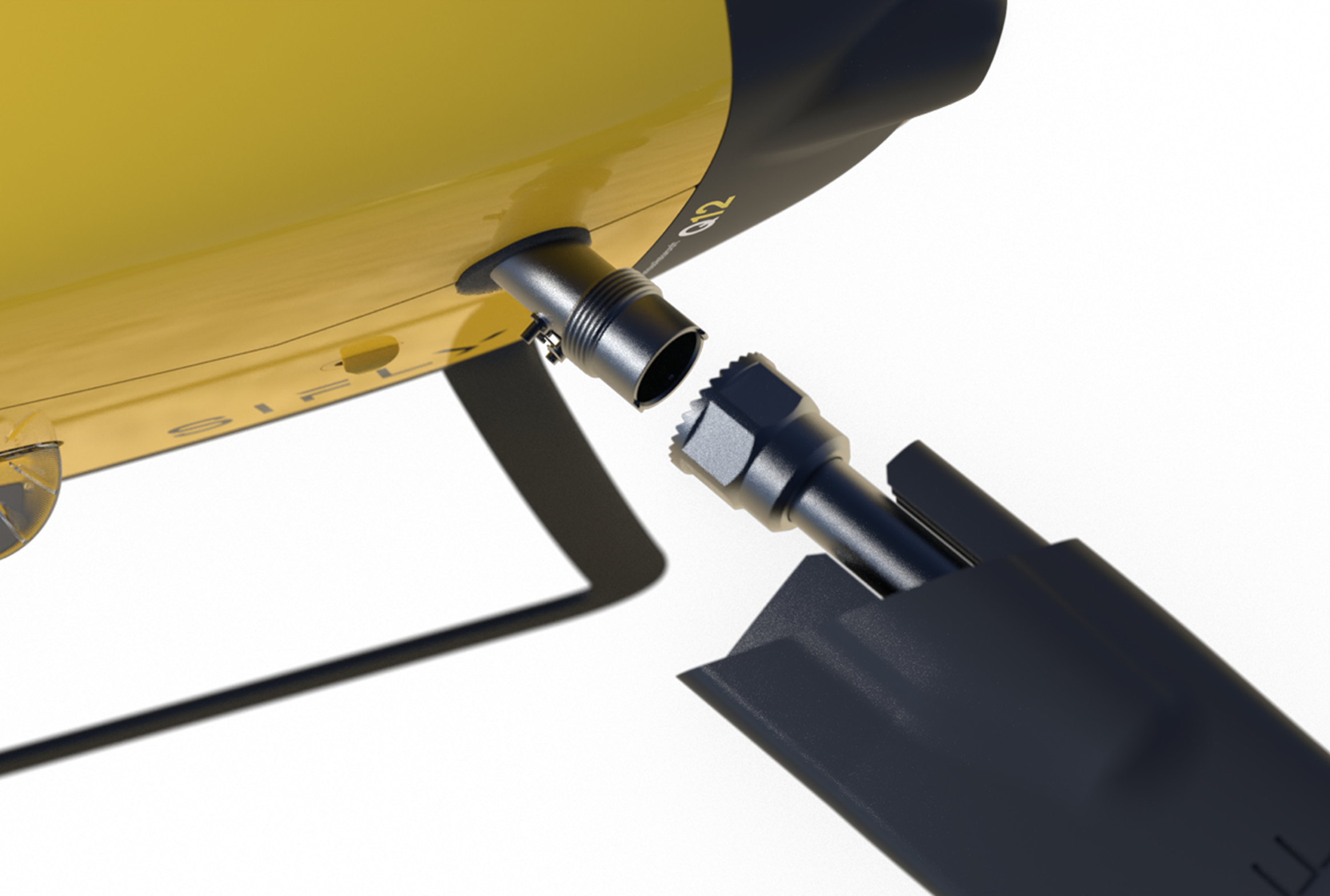
Quick-connect struts tighten
and lock without tools.
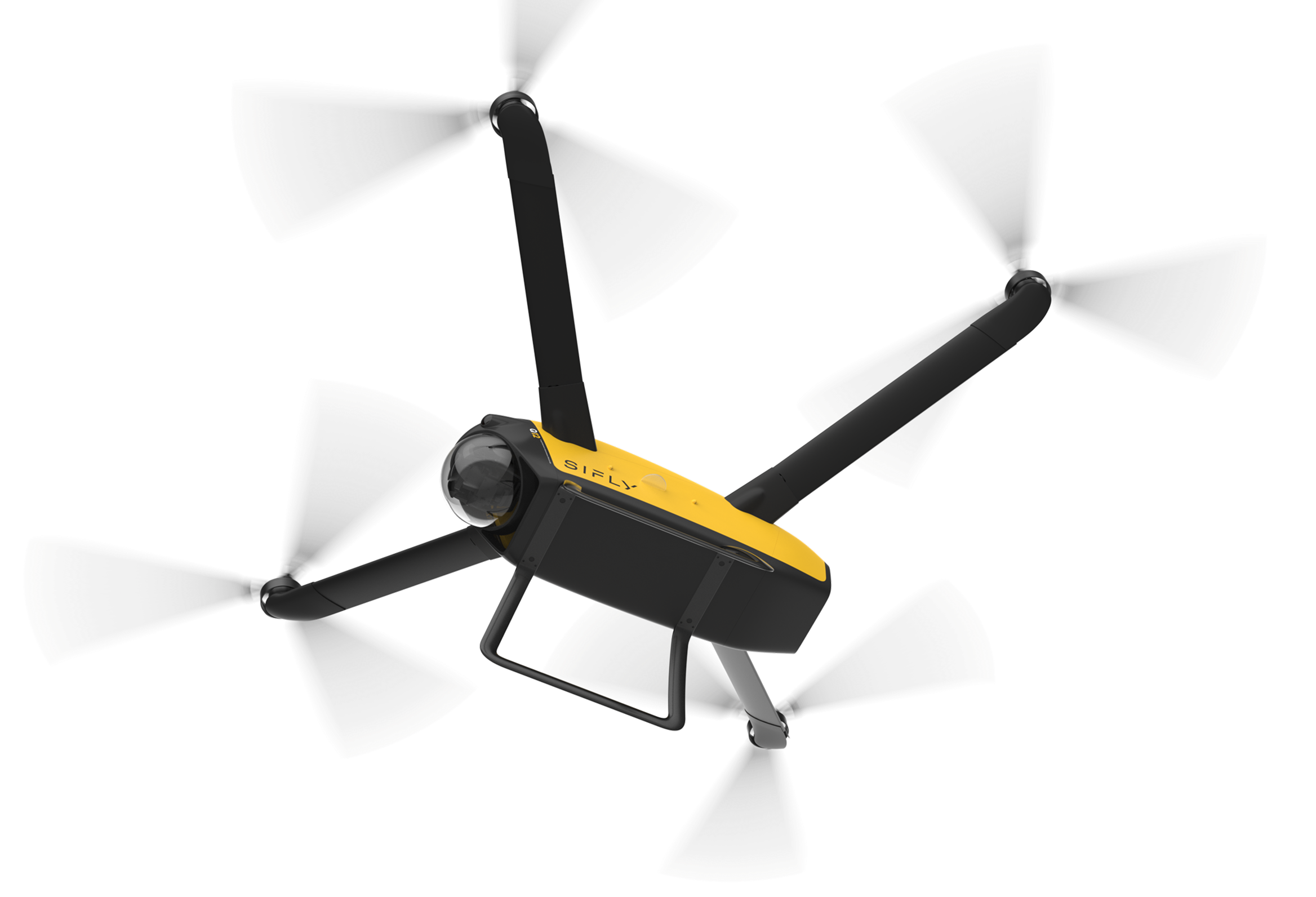
Pre-flight complete. Q12 is airborne and on mission.
Communicate. Illuminate.
Respond.
Maintain command, control, and real-time video—across distance, obstacles, andchanging network conditions.
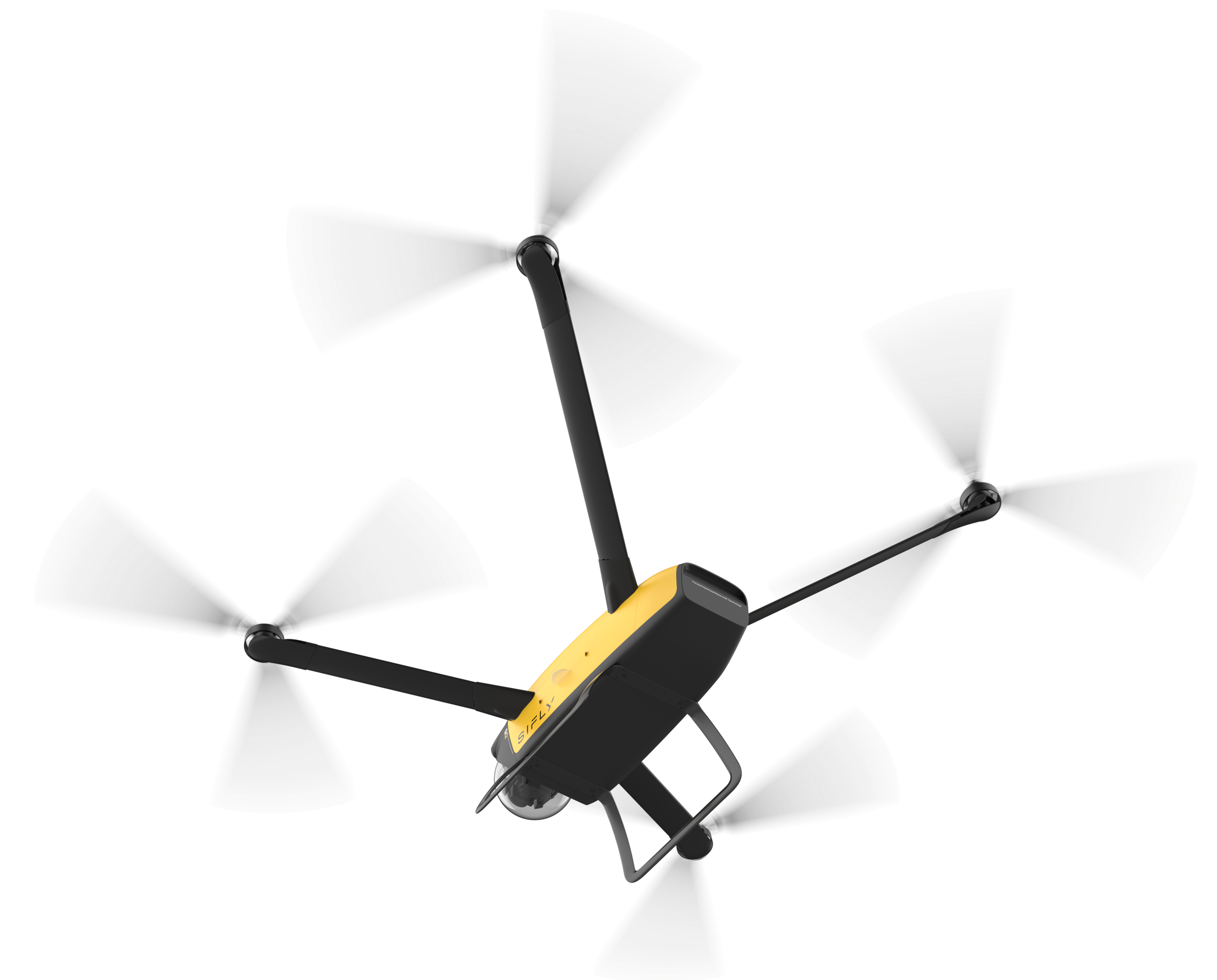

Two-way voice projection cuts through ambient noise at altitude.

Directional mic array isolates speech from rotor and wind.

High-intensity strobe + spotlight for night ops and signaling.
One Platform.
Multiple Missions.
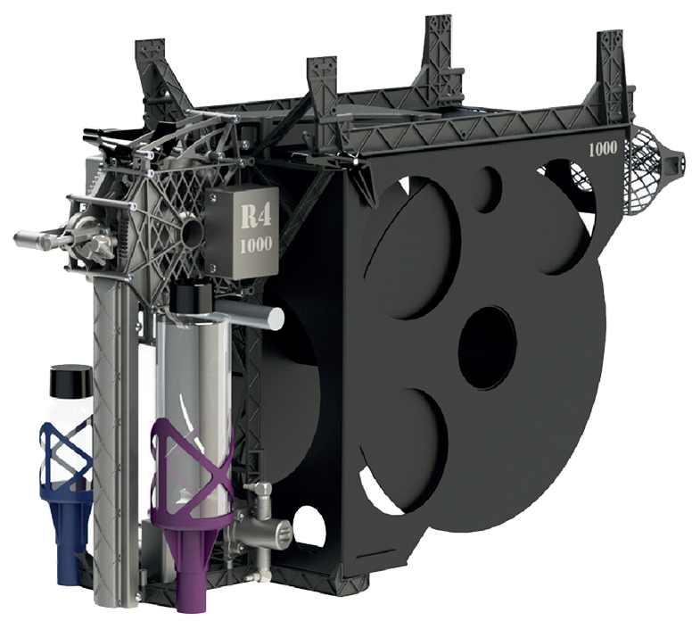
Swappable payloads enable a wide range of missions on a single platform.
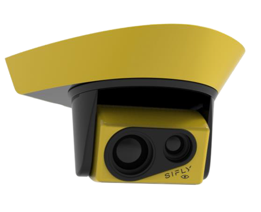
EO/IR
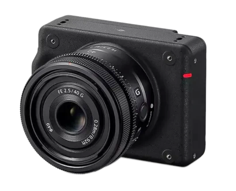
RGB MAPPING CAMERA
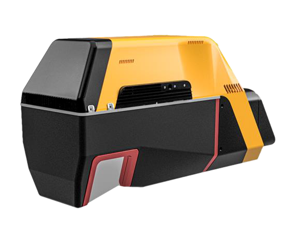
LIDAR
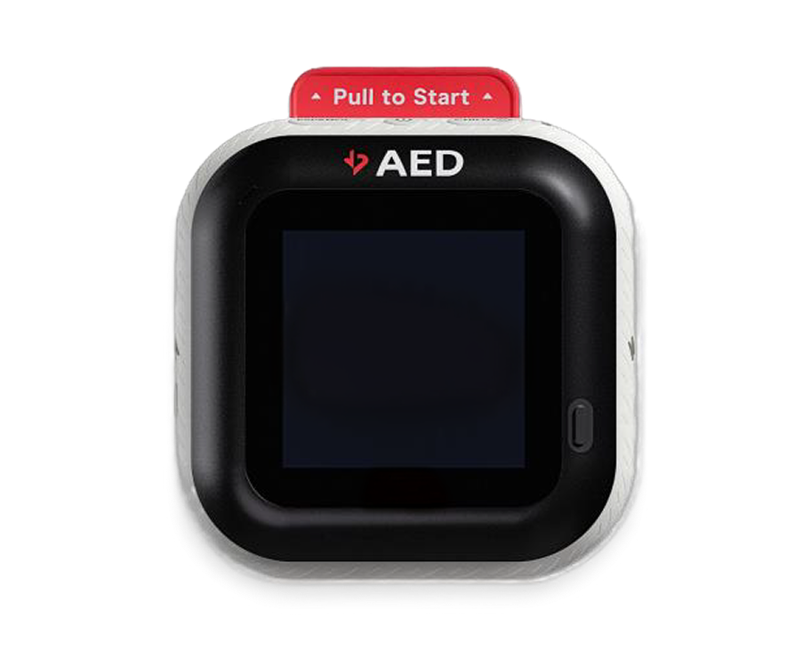
AED
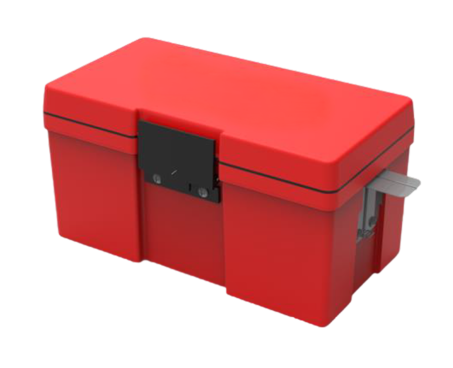
CARGO CONTAINER
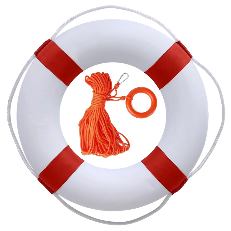
LIFE PRESERVER
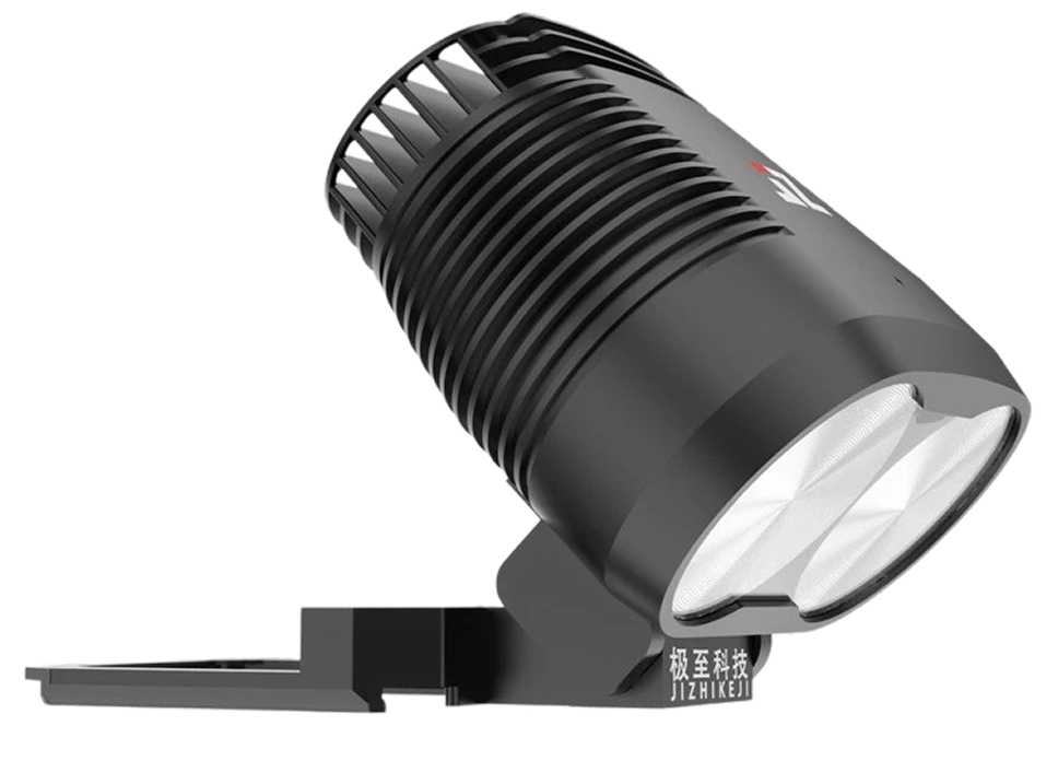
SPOTLIGHT
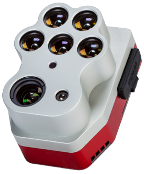
MULTISPECTRAL
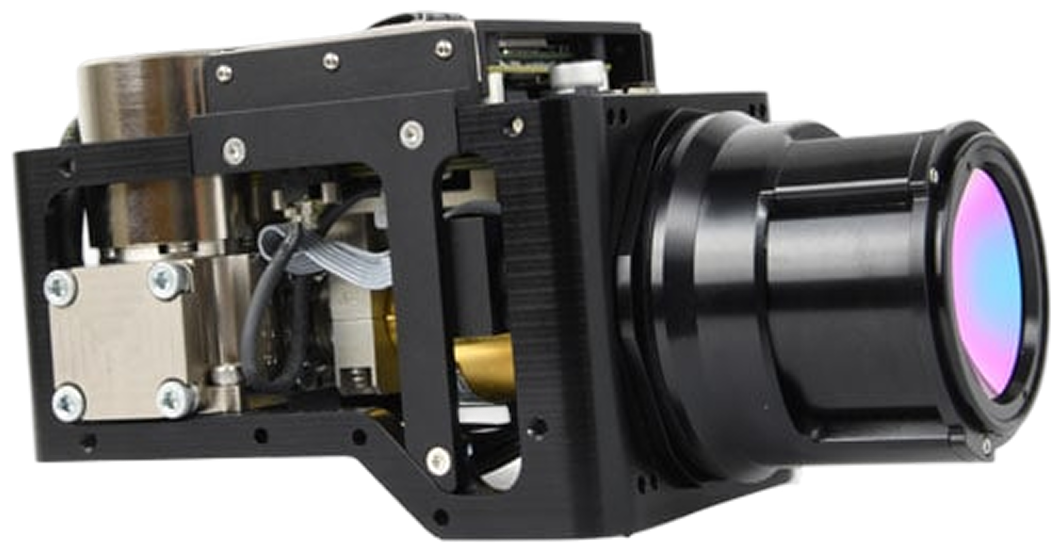
OGI SENSOR
AERIAL IGNITION
CELLPHONE LOCATOR
GAMMA SPECTROMETER
Explore configurations
Supporting High
Impact Missions.
Traditional drones fall short on endurance, payload, and cost. The Q12 redefines what’s possible—delivering unmatched flight time, multi-mission capability, and operational efficiency for industrial drone missions.
Public Safety
Instant aerial intelligence for faster decisions in critial moments. See more, Know sooner. Act with Confidence.


Drone-as-First Responders (DFR)


Fire Protection


Search & Rescue


Emergency Response


Perimeter / Border Security
Mapping & Surveying
Capture terrain and site data quickly. Generate aerial models, monitor environments, and survey areas from one platform.

Agriculture


Construction


Mining


Forestry


Environmental Monitoring
Infrastructure Inspection
Inspect infrastructure from safer distances with aerial visibility. Reduce inspection time while maintaining awareness.


Power Lines


Pipelines


Rail Networks


Solar & Renewables


Built Infrastructure
Q12 Preorders Now Open Reserve Yours Today.


our team and see what we can build.